Skip to guide

Minnesota · 4 walks to try

Dog walks in
Duluth

Lake Superior on one side. A whole new set of smells in the woods.

Find a walk
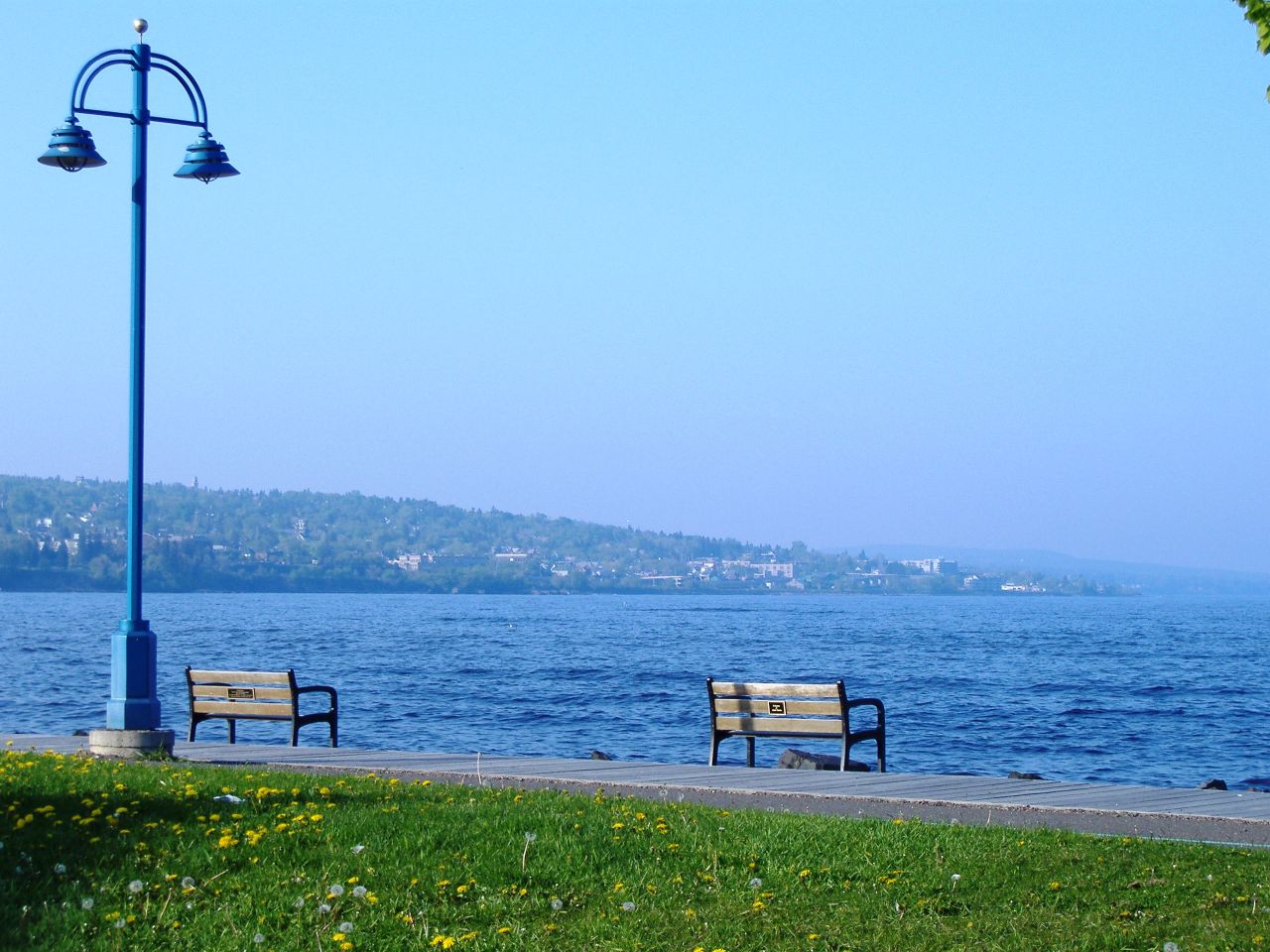
Duluth Lakewalk with benches beside Lake Superior
Duluth Lakewalk
Photo credit

Amy Mingo, 2006 · CC BY 2.0. Resized; cropped to fit.

Short dog walks in Duluth

Choose an outing you can shorten, or compare a smaller published circuit. A park’s whole trail network is not the distance you have to walk.

  • Duluth Lakewalk

    Choose your distance. Start at Canal Park, follow an open shoreline section and return the same way. The nearly eight-mile corridor is not a required outing or a round-trip distance.

    Paved pedestrian and bicycle trail. Start: Canal Park Lakewalk access. Directions, access notes and official sources.

  • Congdon Park

    Choose your distance. Use the lower entrance near Greysolon Street for an out-and-back on an open signed path. Check dirt-trail conditions; bridges and creek paths do not establish step-free access.

    Creek-corridor hiking trails. Start: 33rd Avenue E & Greysolon Street. Directions, access notes and official sources.

For context, our Dog Walking Report found a median of 26 minutes and 0.8 miles across 341 recorded walks from 110 owner accounts. This is a community-wide sample, not a Duluth or Minnesota estimate, and it is not an exercise target.

If a full circuit is more than you want today, choose a turnaround on an open path and allow for the return. Use the dog walk calculator for a starting plan and record the actual outing with your phone.

A little help choosing

What kind of walk today?

Pick a spot for directions and the useful details.

4 walks

Lakefront

Duluth Lakewalk

Lake Superior views without planning a route through the woods.

Distance
Choose your distance
Surface
Paved pedestrian and bicycle trail
Dogs
Keep leashed

Start at Canal Park and follow an open stretch of the shoreline trail. Pick a turnaround that leaves time and energy for the walk back.

Start here

Canal Park Lakewalk access

Get directions
Heads up

Share the path with cyclists and keep the leash out of passing traffic. Check current detours.

Parking, distance notes & sources

Canal Park is one of several entrances. The city’s Lakewalk page lists other access points and parking.

Nearly 8 miles for the corridor, not a loop or round-trip distance.

Woodland

Hartley Park

Head here for woods, wetlands and a break from the shoreline.

Distance
Choose your distance
Surface
Multipurpose woodland trails
Dogs
Keep leashed

Start at the nature-center area. Use the official map to choose a short open route and keep track of your return at junctions.

Start here

3001 Woodland Avenue at Hartley Road

Get directions
Heads up

Check seasonal closures and trail-use signs. Some routes are shared with bikes or used for winter skiing.

Parking, distance notes & sources

A parking lot and public restroom are listed off Woodland Avenue at Hartley Road. Check facility hours.

About 10 miles in the multipurpose network, not one loop.

Woodland

Lester Park

Creek-side woods with plenty of room to extend your walk.

Distance
Choose your distance
Surface
Shared natural-surface trails
Dogs
Keep leashed

Choose an open hiking path from the park map. Start with an out-and-back you can retrace, then add a connector if you know the way back.

Start here

61st Avenue E & Superior Street

Get directions
Heads up

Check dirt-trail conditions during spring thaw and wet fall weather. The wider park also has mountain-bike trails.

Parking, distance notes & sources

Parking and picnic areas are listed at 61st Avenue East and Superior Street.

More than 9 miles of hiking and bike trails in the system.

Creek trail

Congdon Park

Follow Tischer Creek for bridges, waterfalls and a change from the lakefront.

Distance
Choose your distance
Surface
Creek-corridor hiking trails
Dogs
Keep leashed

Start near the lower entrance at Greysolon Street and follow an open signed hiking path along the creek. Turn back along the same route.

Start here

33rd Avenue E & Greysolon Street

Get directions
Heads up

Check natural-surface trail conditions. Bridges and creek paths don’t guarantee a step-free route.

Parking, distance notes & sources

The park runs uphill from 33rd Avenue East and Greysolon Street toward St. Marie Street.

No verified fixed circuit length is assigned in this guide.

A few local tips

Check dirt-trail conditions

Dirt trails can close in wet spring and fall weather. Check current conditions before heading into the woods.

Duluth hiking conditions and dog rules

Keep your dog leashed

Use a leash outside designated dog parks, leave room for other trail users and take waste out with you.

Duluth trail etiquette and dog rules

Check winter trail use

Let freshly groomed trails harden and avoid making deep holes in soft snow. Check which uses are allowed on your winter route.

Duluth hiking conditions and dog rules

Good to know

Do I have to walk the whole Duluth Lakewalk?

No. The city describes nearly eight miles of trail from Canal Park to Brighton Beach. That is the corridor’s length, not a required walk or a short loop. Start at an access point and turn back along the same open path when you are ready.

Official Lakewalk description
Are Hartley and Lester off-leash dog parks?

These are shared park trail systems. Duluth requires dogs to be leashed outside designated dog parks; a wooded hiking trail does not make an exception.
Duluth leash guidance

About this guide

Researched from official park information, checked October 19, 2026. We haven’t field-tested every walk. Use park notices for current conditions.

About the distances & research

Loop distances and trail-network totals are labeled separately. Directions lead to a starting point, not a recorded walking route.

Send a correction or local tip